

 This project is designed to involve local groups in a regional exercise to map their local parish boundaries and identify features of archaeological and historic interest that mark them. This way a large number of local groups can make a small contribution to a large project. The result will be a unique online resource accessible to anyone with an interest in historic landscapes and will serve as an important record. At a local level the information recorded may act as a stimulus for further research into the history of the parish.
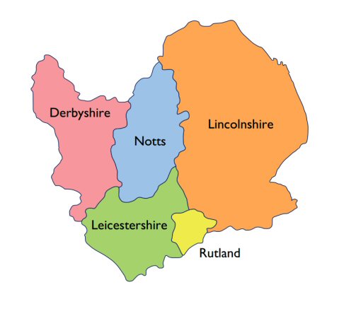 The database will be built up over time and it is hoped that eventually the whole of the East Midlands will be covered.
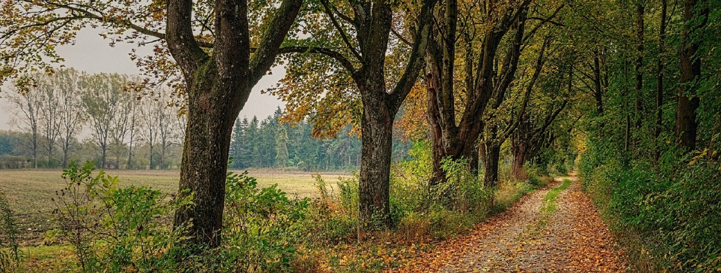
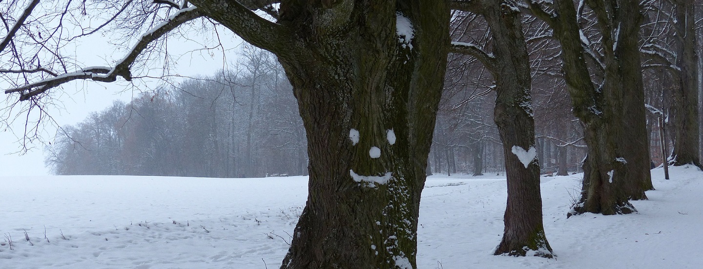
The English countryside is a multi-layered patchwork on which each generation has left its mark. We are aiming to discover more about the countryside by looking at the ancient boundaries that define it. These boundaries were important and defined the landscape for centuries, some dating back into prehistory. Many continue to be important corridors and wildlife havens today.
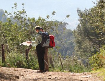
 Ancient boundaries are marked by a vast variety of walls, ditches, banks, hedges and trees, but currently there is no systematic record of the patterns of their individual elements. The recording involves starting with parish boundaries on historic maps and then going out and recording their form and condition – to create a 21st century ‘domesday’ GIS record with linked drawings and photographs. The data is recorded in the project database via this website.
We have a number of menu items with more information.
- A short slide show that will give you an overview of the project.
- ‘Frequently asked questions’ with answers. The project should be fun and interesting for those taking part. There are no impositions placed on researchers.
- ‘Project guidance’ giving more detailed information.
- Examples of Bingham parish and its database entries are given in the menu items ‘Bingham – an example’, ‘Boundary features’, ‘Fosse Way’, ‘Hedgerow’ and ‘Ash hedge’ .
- You can search for the parishes and their features that various research groups have added to our database.
We are happy to help and provide further information on request. Please contact us to register your interest in the project.
CBA East Midlands
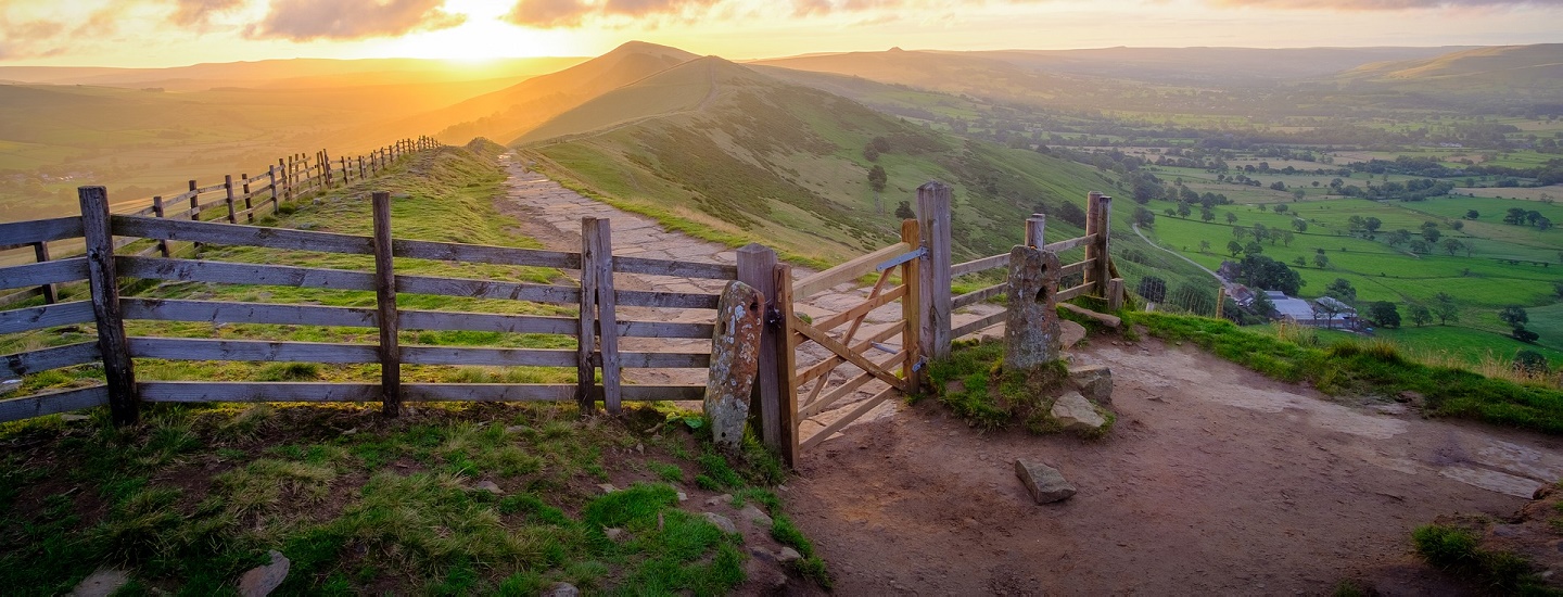
Image of Lose Hill by Tim Hill of Pixabay
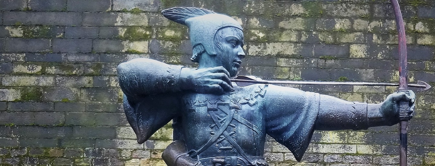
Image of Robin Hood statue by Martin Ludlum of Pixabay